Texas outdoors · first light

Should you go this weekend?

Pick a town, county, ZIP, or lake, choose your dates, and get a Go / Maybe / Stay home briefing from live NWS weather, seasons, sun and moon, air quality, and nearby services.

    Texas towns, counties, ZIP codes, and lakes. The exact counts appear when JavaScript loads.

    Photo: Unsplash.

    This weekend in Texas

    Live pulse

    As of 1:52 pm America/Chicago, Tuesday, Nov 10, 2026. Source: National Weather Service. This snapshot is baked in when the site is rebuilt. JavaScript may replace it with a fresher read.

    This weekend (Saturday, Nov 14 and Sunday, Nov 15):

    • Hill Country (Kerr County): Saturday, Nov 14: Chance Rain Showers; high 67, low 55; wind SSE 5 to 15 mph; 38% chance of rain. Sunday, Nov 15: Chance Rain Showers; high 68, low 51; wind SSE 5 to 10 mph; 27% chance of rain.
    • East Texas (Lake Fork): Saturday, Nov 14: Mostly Sunny; high 68, low 54; wind SE 5 to 10 mph; 0% chance of rain. Sunday, Nov 15: Chance Rain Showers; high 63, low 53; wind SE 5 to 10 mph; 30% chance of rain.
    • Texas Coast (Matagorda Bay, Palacios): Saturday, Nov 14: Mostly Sunny then Slight Chance Showers And Thunderstorms; high 77, low 64; wind E 10 to 20 mph; 23% chance of rain. Sunday, Nov 15: Chance Rain Showers; high 77, low 61; wind E 15 to 20 mph; 54% chance of rain.
    • North Texas (Dallas County): Saturday, Nov 14: Mostly Sunny; high 72, low 54; wind SE 5 to 15 mph; 0% chance of rain. Sunday, Nov 15: Chance Rain Showers; high 68, low 52; wind SE 10 to 15 mph; 37% chance of rain.
    • Panhandle (Potter County): Saturday, Nov 14: Mostly Sunny then Slight Chance Rain Showers; high 64, low 48; wind S 10 to 20 mph; 22% chance of rain. Sunday, Nov 15: Mostly Sunny; high 63, low 45; wind S 15 mph; 12% chance of rain.

    3 active Texas National Weather Service alerts: Flood Warning.

    On this device

    My spots this weekend

    Saved towns, counties, and lakes, with this weekend's Go, Maybe, or Stay home call. The list stays on this phone or computer. No account is required.

    If you have saved spots on this device, their weekend calls appear here when JavaScript can read them.

    Front tracker

    Cold front tracker

    A simple reading of the forecast, not an official National Weather Service front call. The date window and any flags appear in the cards below.

    NWS forecast through Monday, Nov 16. Outlook through Monday, Nov 23 (less certain). As of 1:52 pm America/Chicago, Tuesday, Nov 10, 2026. A simple reading of the forecast, not an official National Weather Service front call.

    Hill Country (Kerr County)

    Cold front Sat Nov 21: high 66 to 49 on Sun Nov 22, wind turns NW. Outlook, less certain.

    Wind shifts S to NW · High drops 17° on Sun Nov 22 (66° to 49°)
    Open Trip Check

    East Texas (Lake Fork)

    Weak front Wed Nov 11: high 79 to 74 on Thu Nov 12, wind turns N

    Cold front Sat Nov 21: high 67 to 49 on Sun Nov 22, wind turns W. Outlook, less certain.

    Wind shifts SW to N · High drops 5° on Thu Nov 12 (79° to 74°)

    Open Trip Check

    Texas Coast (Matagorda Bay, Palacios)

    Cold front Mon Nov 16: high 74 to 66 on Tue Nov 17, wind turns NE. Outlook, less certain.

    Cold front Sat Nov 21: high 79 to 54 on Sun Nov 22, wind turns NW. Outlook, less certain.

    Wind shifts E to NE · High drops 8° on Tue Nov 17 (74° to 66°)

    Open Trip Check

    North Texas (Dallas County)

    Weak front Wed Nov 11: high 80 to 76 on Thu Nov 12, wind turns NNW

    Cold front Sat Nov 21: high 69 to 50 on Sun Nov 22, wind turns W. Outlook, less certain.

    Wind shifts SSW to NNW · High drops 4° on Thu Nov 12 (80° to 76°)

    Open Trip Check

    Panhandle (Potter County)

    Cold front Fri Nov 20: high 50 to 33 on Sat Nov 21, wind turns N. Outlook, less certain.

    Wind shifts SW to N · High drops 17° on Sat Nov 21 (50° to 33°)

    Open Trip Check

    Front rules (not an official NWS front call): we flag a front when the wind turns north, northwest, or northeast after a south or east wind, and highs fall at least 4 degrees the same day or the next day. If highs fall 8 degrees or more, a turn to west or west-northwest also counts. A drop of 8 degrees or more can be called a cold front. A drop of 4 to 7 degrees, or forecast text that mentions a front, is marked weak. We read day and night forecast text. Outlook days come from Open-Meteo and are less certain. We only use the words cold front when the high drop is 8 degrees or more.

    What’s inside

    Trip Check

    Live NWS weather, shooting hours, moon & solunar, curated 2026–27 seasons, water levels, allergy & air.
    Maps

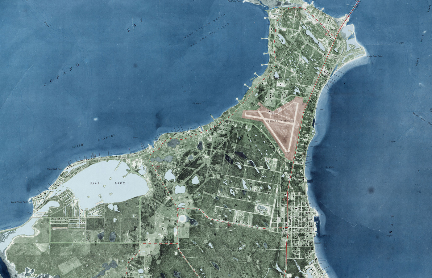
    A where-and-when map: radar, wind, alerts, rut timing, deer and duck zones, public hunting land, and official TPWD boat ramps.
    Near Me

    A shop list by distance, with tap-to-call and directions. Processors, taxidermy, boat and ATV repair, guns, and tackle are checked on Google Maps. Gas and ice come from OpenStreetMap.

    Always confirm seasons, bag limits, and shooting hours with the TPWD Outdoor Annual. The Go, Maybe, or Stay home call is a simple score from the forecast and season calendar. See how the call works. It is not legal advice or a guarantee.